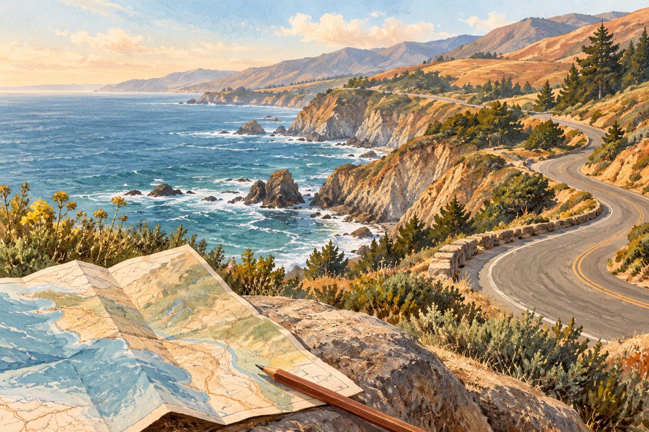
Highway 1 road conditions belong near the top of a California coastal trip plan. Before choosing the perfect lunch stop or headland walk, check whether the road connects your starting point, destination, and overnight base. A lovely place can be a poor fit for today’s drive.
Start with the highway report
Open Caltrans’ Road Information page and enter highway number 1. Read the notices for the stretch you intend to drive, paying attention to locations and any stated restrictions. A report about a distant section does not describe your entire route. Caltrans also lists 1-800-427-7623 for current highway conditions.
Put the notices on the map
Use Caltrans QuickMap to look at the wider journey. It brings road conditions, closures, and traffic information into a map view. Compare what you see with your planned stops; a familiar place name or a saved map pin is only the beginning of that check.
- Check the journey in both directions, including the connection to your accommodation.
- Read the official visitor page for the park or public place separately; road information does not confirm trail access.
- Choose a backup outing near your base, then recheck the road report before departure.
Keep one good detour in reserve
If the coastal connection does not work, let the itinerary change. One unhurried outing near your base can be more rewarding than a long improvised drive between scattered pins. Treat that as an editorial planning choice, and follow the current restrictions wherever you travel.
Our California guide groups 36 places into six regions, with official links to help you make those decisions. Save the PDF for its written notes, and open the live sources when checking access. The best route is the one that still makes sense on the day you leave.
← Browse all field notes