Choose a cool-season trip
The desert can look inviting in a photograph while being unsuitable for a walk that day. Make temperature, road conditions, and daylight the first filters in your plan. Cool months generally offer more comfortable opportunities, but the actual forecast matters more than a seasonal label. Never continue with an outing simply because it is already on your itinerary.
California's deserts also cover a large area. Alabama Hills and Trona form one broad eastern cluster. Amboy and the Mojave are another. Anza-Borrego is a separate destination centered around Borrego Springs. These places should not be squeezed into a single short loop without realistic travel time.
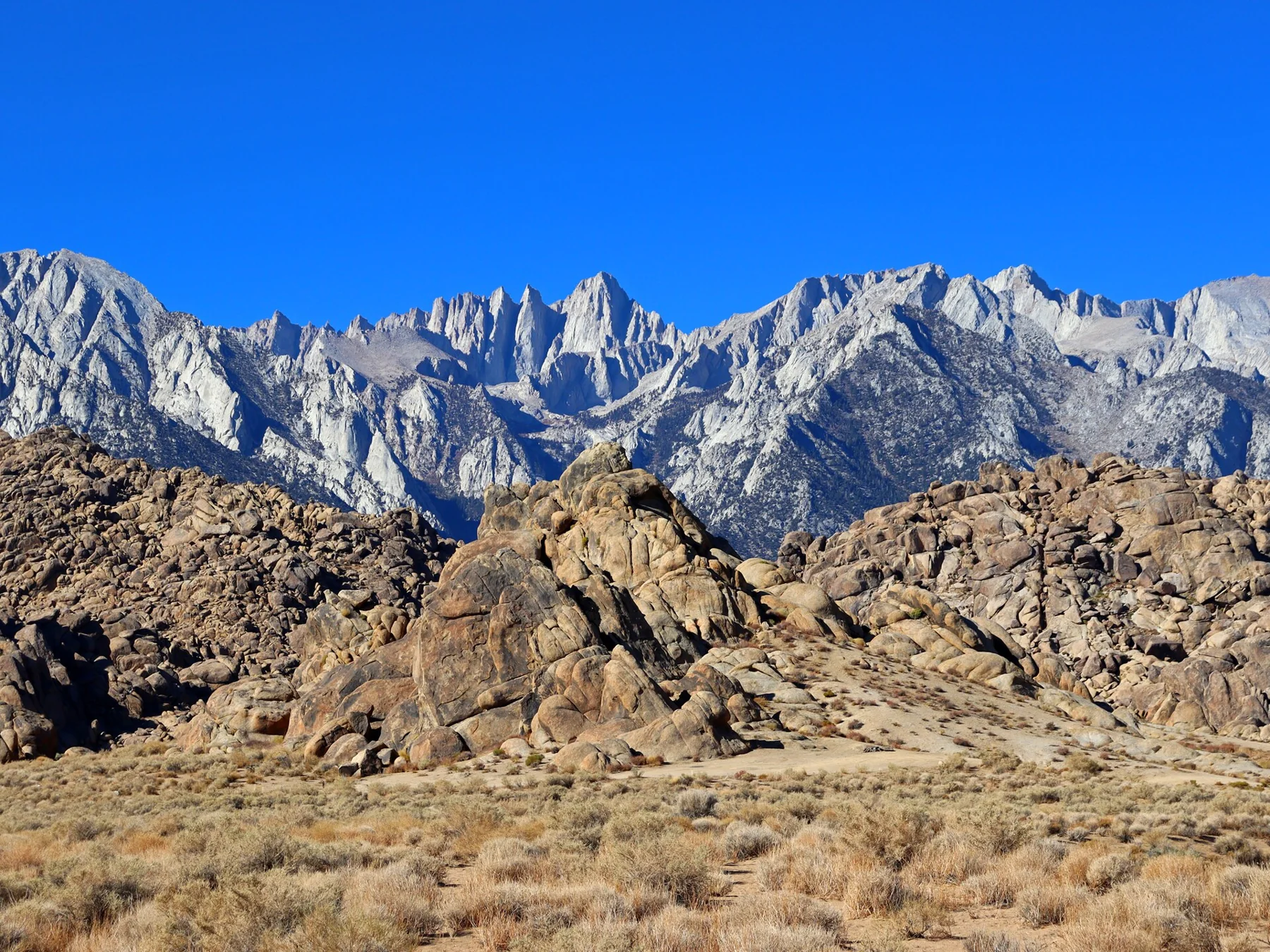
Alabama Hills: make a restrained visit
The appeal is the relationship between rounded rock formations and the Sierra backdrop. You do not need to drive every dirt road or scramble onto formations to appreciate it. Begin with the BLM map, choose an established open walk, and use Lone Pine for food, fuel, and supplies.
Day access does not imply unrestricted camping or vehicle access. Check current road and camping rules separately. Stay on designated routes and resist the temptation to create a shortcut across desert ground. A short, well-chosen visit can be more satisfying than a long circuit that damages the landscape.
Trona: the approach is part of the decision
The pinnacles rise from an ancient lakebed, and their form is the reason to go. The approach is an unpaved road, so vehicle suitability and recent weather are part of the destination decision, not details to discover after arriving. Read the current BLM access information before leaving a serviced town.
Wet desert roads can cause difficulties that are not obvious from a dry-weather image. Postpone if the road or weather exceeds your vehicle's capabilities. Bring water, a fuel margin, and offline directions. Do not climb or damage the formations for a better picture.
The Mojave Lava Tube needs a separate plan
The National Park Service recommends high clearance for the rough Aiken Mine Road approach and describes a tube with a ladder, low ceilings, and loose rock. That makes it unsuitable for some visitors even when access is open. Be honest about your equipment and comfort before deciding to enter.
Bring reliable lights and suitable footwear, and read the current NPS advice. Dramatic shafts of light depend on conditions and are not guaranteed. The photograph should be an invitation to learn about the place, not a reason to ignore heat, road hazards, or physical limitations.
Pack for an alternative, too
Water, sun protection, offline maps, and adequate fuel belong in the car before you leave. Check for toilets and other facilities rather than assuming they exist. Tell someone your plan and return time if your route is remote. Follow land-manager guidance on emergencies and communications.
Build a simpler backup day close to services. If heat or a damaged road rules out the remote stop, that is a successful decision, not a failed holiday. The California guide groups these destinations with caution notes and official links so the plan can change before you commit to a drive.
Plan with current information
These are editorial planning suggestions. Check the land manager’s live notices, fees, permits, and road advice before travel.
- www.blm.gov/visit/alabama-hills
- www.blm.gov/visit/trona-pinnacles
- www.nps.gov/moja/planyourvisit/lava-tube.htm
Researched October 4, 2026. Photography credits and license details are listed on our photo credits page.