Choose a region before a route
A New York State road trip can mean a Long Island shoreline, a Hudson Valley landscape, a Catskills forest, or a Finger Lakes gorge. Those are different journeys. Start with your available nights and the place you most want to spend time, then choose a base that keeps the daily driving sensible. A two-night break is a good reason to explore one area closely.
Our New York PDF groups 36 destinations into six regional chapters. The regions help you choose; they are not a six-part itinerary to complete in a weekend. New York City edges and Long Island have their own transport questions, while the Adirondacks and western part of the state need different overnight plans.
Give each day one main outing
Choose one anchor visit, then leave a second nearby stop optional. Around Ithaca, that might mean a gorge outing followed by time in town. Around the Hudson, it could mean a river walk or a historic landscape. Both shapes leave room for lunch, parking, weather, and the return journey.
Use a live map for the actual drive from your accommodation. A list sorted by region is not sorted by travel time. If reaching an extra destination consumes the afternoon, save it for a separate trip. Visit windows in the guide are editorial estimates, not measured driving or trail times.
Check the entrance and the reservation
A park name is not a complete arrival plan. Choose the entrance, parking area, and route you intend to use from the official map. At Sam’s Point, the official page describes parking reservations for weekends and holidays during the main visitor season. Read the current dates and booking instructions before committing to the drive.
A reservation for one facility does not grant access to every trail or activity. House tours, boat transport, campgrounds, and seasonal swimming can have separate arrangements. The PDF price covers the guide; admission, transport, lodging, permits, and parking are separate.
Let conditions change the plan
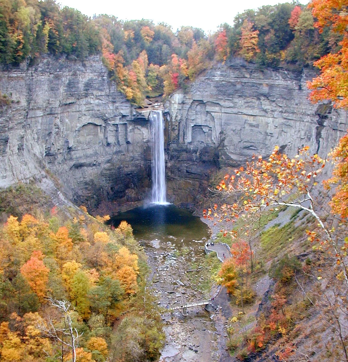
Use New York’s official 511 travel information for traffic and road conditions, and read the individual destination notices for trails and facilities. Gorge access can change with weather and the season. A waterfall photograph cannot tell you whether the approach is open on your travel date.
Build a backup outing that does not depend on the same closed trail or difficult road. For an autumn trip, shorten an ambitious walking day when daylight or weather calls for it. For winter, make a fresh plan around the routes actually open instead of reusing a summer itinerary.
Save the useful details before leaving
Download the PDF, test it in your device’s reader, and save any map areas you need. Its written notes remain available offline; map searches and live source pages require connectivity. Keep the official pages easy to find so you can recheck them close to departure.
The reward is a trip with room to notice a few places properly. Our six regional chapters offer starting points, map links, and practical cautions so you can build a route around your interests rather than trying to finish a statewide list.
Plan with current information
These are editorial planning suggestions. Check the land manager’s live notices, fees, permits, and road advice before travel.
- www.dot.ny.gov/travel
- parks.ny.gov/visit/state-parks/minnewaska-state-park-preserve-sams-point-area
- parks.ny.gov/visit/state-parks/taughannock-falls-state-park
Researched October 4, 2026. Photography credits and license details are listed on our photo credits page.