Mojave offline maps are worth preparing before the desert begins. In Mojave National Preserve, the National Park Service warns that mobile service is unreliable or absent across much of the landscape. Let the wide horizon be the surprise; make the navigation familiar first.
Download the park, then check the download
The free NPS app lets you download park content for offline use. Find Mojave National Preserve and use the download button on its park page while you have strong Wi-Fi. NPS recommends doing this before leaving home, especially for remote parks.
Before departure, try reopening the saved park content without an internet connection. Check that the map and the information you expect to use are available. This small rehearsal is an editorial planning suggestion: discovering a missing download at your kitchen table is easier than discovering it beside a desert road.
Give the phone a paper companion
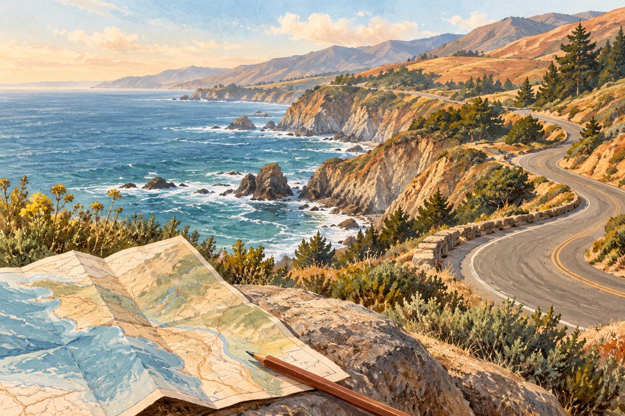
Mojave’s official maps page links to a printable park brochure map. Print it before your trip, or pack a suitable paper atlas. NPS explicitly recommends a paper backup and cautions against relying solely on automated navigation, which may suggest roads unsuitable for your vehicle.
Keep one last online check
- Read Mojave’s Alerts & Conditions page while you still have a connection, checking the specific roads you plan to use.
- Review weather and any relevant closures separately; a saved map does not establish that a route is suitable today.
- Save your California guide PDF locally and test that it opens, while remembering that its map links and official updates need internet access.
Our California guide helps you place desert detours within a wider regional plan. Finish the practical checks early, then leave some attention free for the light, the distance, and the shapes of the trees.
← Browse all field notes