Make it a shoreline visit, not just a photo
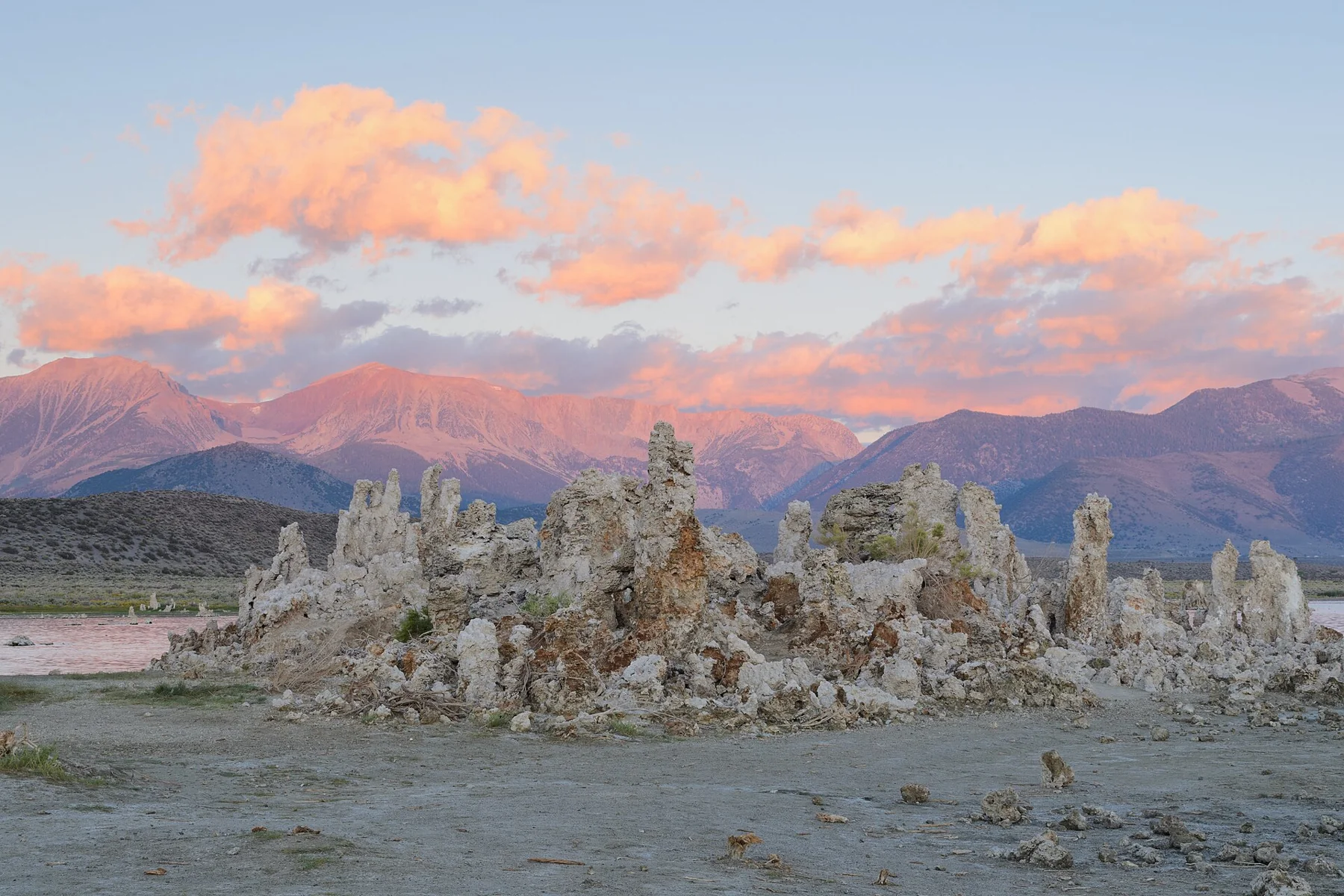
South Tufa is an accessible introduction to Mono Lake's unusual landscape in the everyday sense of being an established visitor destination. That does not mean every path suits every mobility need. Check current official accessibility information for your group before deciding how much walking to do.
The towers and lake setting invite photography, but the visit is richer when you also read the interpretation and notice wildlife. Budget an unhurried hour or two as an editorial planning estimate. Add time for the drive, fees, or a visitor information stop rather than treating that window as a guaranteed duration.
Use the correct access area
South Tufa and Mono Lake County Park are different visitor areas. Do not use a familiar map result as a substitute for checking the place you intend to visit. Use the official visitor information and follow signed access to South Tufa south of Lee Vining.
Road conditions can vary with the season. In winter, snow or ice can affect both the journey and the walking surface. Check weather, road advice, current fees, and the opening status close to departure. If access is unsuitable, choose a different day rather than improvising a route.
Let the formations remain untouched
Tufa is fragile. Keep to designated routes, do not climb the towers, and do not collect pieces. A close-up photograph is not a reason to enter a restricted area or step across sensitive habitat. Respect the boundaries that keep a popular visitor area functioning.
Bring binoculars if bird observation interests you and give wildlife plenty of space. Avoid assuming that the shoreline in an older photograph is exactly where it will be during your visit. Light, water, weather, and the appearance of the scene vary naturally.
Keep your wider route realistic
Mono Lake fits a Highway 395 journey or a trip based around Lee Vining. It does not fit comfortably into every northern Sierra weekend just because both destinations appear in a mountain chapter. Check actual driving distances and the seasonal status of any mountain pass you intend to use.
The California guide treats northern volcano country, the northern Sierra, and the Mono Basin as separate planning chapters within a broader regional section. That structure is deliberate: good suggestions should help you choose, not create an obligation to visit every listed place.
Plan with current information
These are editorial planning suggestions. Check the land manager’s live notices, fees, permits, and road advice before travel.
Researched October 4, 2026. Photography credits and license details are listed on our photo credits page.